
 |
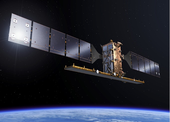
The synthetic aperture radar (SAR) has allowed measuring the deformation of the territory as it did for the 2009 earthquakes in Aquila, Italy. The deformation was measured by Geohazard-Tep online platforms developed by ESA, using a copy of the Sentinel-1 satellite radar images taken prior to the earthquake and after the earthquake, to map the earth's displacement.

How it works
This was achieved thanks to the electromagnetic signal received from the satellite, the reflection of the surface of the Earth captured by the sensors, which is represented in the image obtained in different color cycles, each cycle represents a displacement of the earth's surface during the first line from the satellite to the half of the wavelength of the signal released.